


2017 Minnesota Airport and Travel Guide

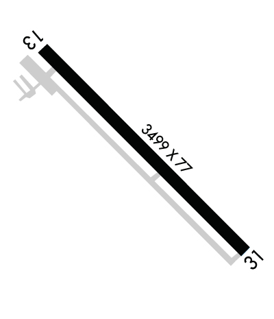
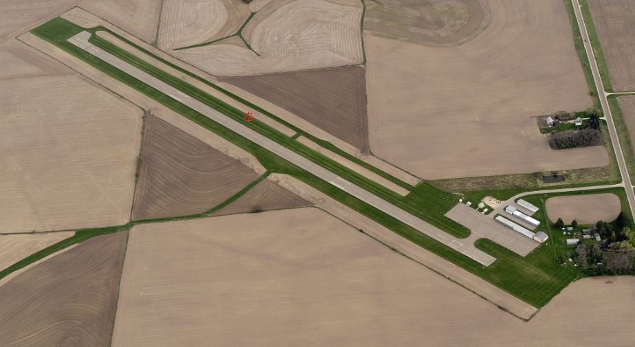
| FAA Identifier: | CHU |
| Lat/Long: | 43-35-46.8910N / 091-30-14.2070W 43-35.781517N / 091-30.236783W 43.5963586 / -91.5039464 (estimated) |
| Elevation: | 1179 ft. / 359.4 m (surveyed) |
| Variation: | 01E (1995) |
| From city: | 3 miles S of CALEDONIA, MN |
| Time zone: | UTC -5 (UTC -6 during Standard Time) |
| Zip code: | 55921 |
[wpgmza id=”1″]

